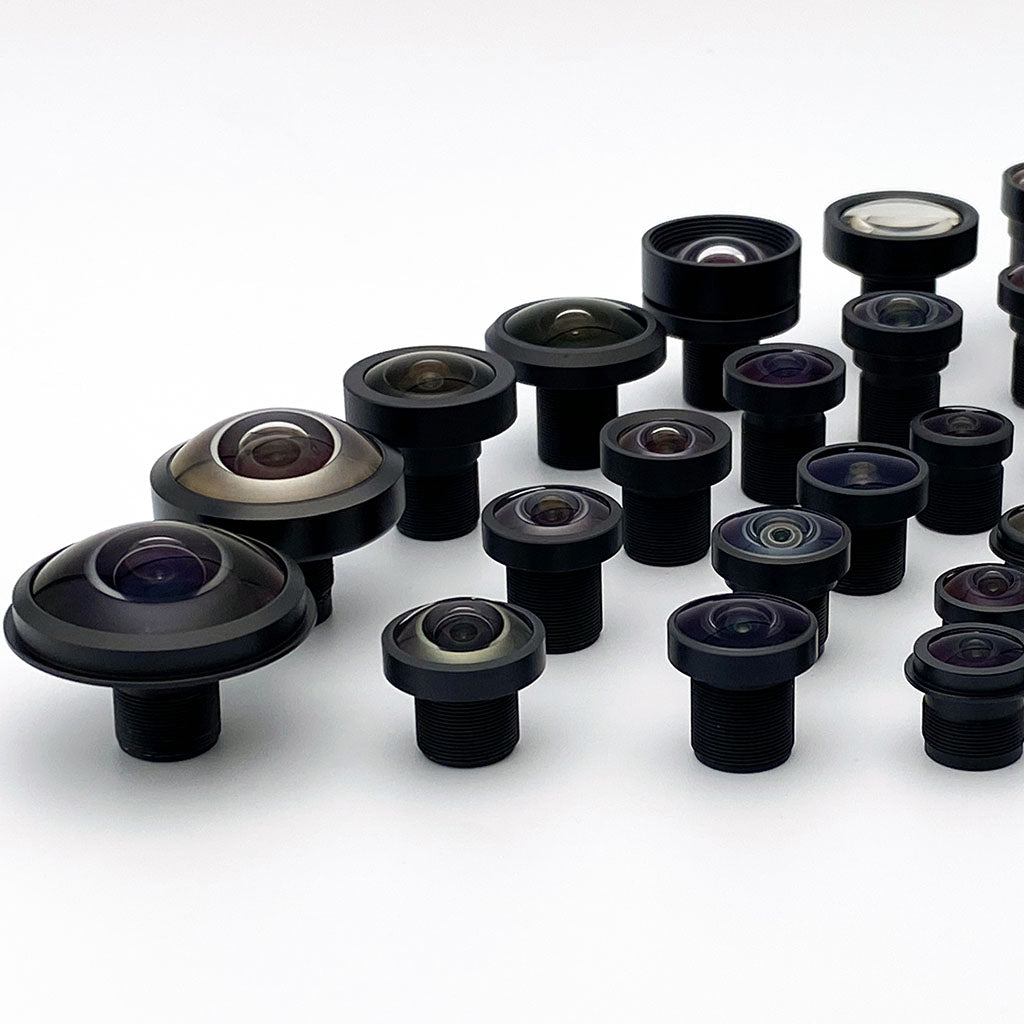

Ground Sampling Distance Calculator for Drone Camera Lenses
One formula connects altitude, pixel pitch, and focal length to what your drone can resolve and detect on the ground. Work it with the calculator below, then pick the lens.

Ground sampling distance (GSD) drives lens selection for every downward-looking drone camera: GSD = (pixel_pitch × altitude) / focal_length. Mapping and photogrammetry missions pick a focal length that hits the target GSD with a low-distortion lens so orthomosaic geometry stays true. Object detection missions apply the Johnson criteria on top of the same formula: roughly 2 pixels across an object to detect it, 8 to recognize it, and 13 to identify it. That converts any object size and altitude into a required focal length.
Ground sampling distance: the one formula that matters
GSD is the width of ground covered by a single pixel. It is the sampling floor rather than the smallest feature the camera resolves, since recognizing something takes several pixels across it. The Johnson criteria below put numbers on how many. Almost every lens decision on a downward-looking drone camera reduces to hitting a GSD number at a given altitude.
Worked example: a Sony IMX477 class sensor (1.55µm pixel pitch) behind an 8mm lens at 100m altitude gives GSD = (1.55 × 100) / (8 × 10) = 1.9cm per pixel. The relationship is linear: double the altitude and GSD doubles, double the focal length and GSD halves, and twice the pixel pitch needs twice the focal length for the same GSD.
Two secondary quantities follow. Ground swath is GSD times pixel count, so the IMX477 example covers about 79m × 59m per frame (4056 × 3040 pixels). Solving for focal length answers the procurement question directly: required EFL = (pitch × altitude) / GSD.
The formula is pinhole geometry, a far-conjugate approximation that holds well at mapping altitudes, and geometry is the best case. Vibration, motion blur, atmospheric haze, and lens MTF all degrade delivered resolution below the computed GSD. Off-nadir tilt stretches GSD across the frame. Survey planners commonly budget 2× margin: if the deliverable needs 5cm features, plan the flight at roughly 2.5cm/px. Treat that as a planning heuristic, not a guarantee. The margin a given survey needs follows from its own error budget, overlap, ground control, and required confidence.
GSD and object detection calculator
Pick a sensor preset or enter pixel pitch directly, then set lens and altitude. The calculator returns GSD, ground swath, the focal length required for a target GSD, and the Johnson-criteria levels for the object size you enter. Every figure assumes zero distortion. The next section covers how to account for it.
Ground sampling distance calculator
Assumes zero distortion: an ideal rectilinear lens at nadir over flat terrain. Real lens distortion is not modeled here, so all results are geometric best cases.
Enter positive values for pixel pitch, focal length, and altitude to compute results.
Johnson-criteria levels for this object
| Level | Pixels needed | Required GSD | Max altitude with this lens | Met at current altitude? |
|---|
Johnson criteria are 50%-probability thresholds under good contrast, measured across the object's critical (smallest presented) dimension. Deployments commonly budget 2× or more margin for atmosphere, motion, lens MTF, and distortion. Default object size 0.5m approximates a standing person seen from above. Use 2.3m for a passenger vehicle.
The calculator treats every pixel as covering the same ground area, which a real lens does not. On a low-distortion lens (under roughly 1% optical distortion) the error is usually small enough to ignore at the planning stage, though survey-grade work should confirm that against its own error budget. On a standard wide-angle lens at 10% or more, size the flight from the frame edge rather than the center, or dewarp before measuring.
For horizontal and vertical field of view on a specific Commonlands lens, including distortion, use the field of view calculator. For working-distance framing problems, use the EFL calculator.
Focal length selection by mission and altitude
There is no best focal length for a drone camera, only the one that hits your GSD target at the altitude you can fly. The table gives the EFL envelope across each row's altitude, GSD, and 3-4µm pixel-pitch ranges. It is not a promise that every focal length achieves every combination. Calculate f = H × p / GSD for your chosen values. A fine-pixel sensor like the 1.55µm IMX577 needs roughly half these focal lengths for the same GSD.
| Mission | Target GSD | Typical altitude | EFL range (3-4µm pitch) | Lens priority |
|---|---|---|---|---|
| Wide-area mapping | 3-5cm | 50-80m | 3-10.7mm | Swath per pass, moderate distortion acceptable |
| Survey / construction photogrammetry | 1-3cm | 30-80m | 3-32mm | Low distortion (<1% optical) |
| Corridor and asset inspection | 0.5-1cm | 10-30m | 3-24mm | Resolution and short-range focus |
| Person detection (security, SAR) | ≤25cm detect, ≤6cm recognize | Mission-dependent | 8-25mm | GSD at standoff altitude. Run the calculator |
| Vehicle detection and tracking | ≤115cm detect, ≤29cm recognize | Mission-dependent | 4-25mm | Swath for search, EFL for confirmation |
Detection GSD figures come from the Johnson criteria for a 0.5m person and a 2.3m vehicle at 50% probability. See the object detection section for derivation and caveats.
Wide versus long: the swath tradeoff
A shorter focal length covers more ground per pass, cutting flight lines, flight time, and battery swaps on large sites. A longer focal length reaches the same GSD from higher altitude, which matters when regulations, terrain, or standoff requirements set an altitude floor. Survey plans usually start from the maximum permitted altitude and solve backward for EFL, the calculator's third output.
Pixel pitch changes everything
Focal length recommendations mean nothing without pixel pitch attached. The same 2cm GSD at 80m needs a 6.2mm lens on the 1.55µm IMX577 but a 13.8mm lens on the 3.45µm IMX264. Fine-pitch sensors buy shorter, lighter lenses at the cost of less light per pixel. That tradeoff is covered in image sensor selection for machine vision. Match image circle and chief ray angle to your sensor, or start from the sensor with the image sensor lens finder.

Distortion, shutter type, and photogrammetry accuracy
Hitting the GSD number gets you resolution. Two other decisions determine whether the orthomosaic geometry built from those pixels can be trusted.
Distortion is a geometry error, not a cosmetic one
Photogrammetry software reconstructs 3D geometry by matching features across overlapping frames under an assumed camera model. Barrel distortion bends straight lines and compresses the frame edges, so edge pixels cover more ground than center pixels and effective GSD varies across the image.
Calibration in Pix4D, Agisoft Metashape, or OpenCV corrects much of it, and bundle adjustment can fit distortion directly in native image coordinates rather than dewarping first. The residual follows the quality of the model and calibration data, not the raw distortion magnitude. Calibration still runs on every survey job. A lens under roughly 1% optical distortion, such as the 5.2mm CIL052 at under 0.2%, simply leaves less for the model to carry, so an imperfect solve costs less. The full background is in what is a low-distortion lens.
Shutter type interacts with flight speed
A rolling-shutter sensor exposes rows at different times, so camera motion during readout can skew the image. A static distortion calibration does not remove this effect, although time-dependent motion models can compensate it. Global shutter removes row-time skew. Exposure-time motion blur remains and can vary across the frame with rotation, object depth, and scene motion.
Rolling shutter remains workable for mapping at moderate speed with short exposures and vibration isolation, and it gives more resolution per dollar. Fast, low flights and measurement-critical work favor global shutter instead. Vibration and shutter interaction is covered in the companion guide, lenses for drones.
Low distortion first (under 1% optical as a starting point, lower for survey grade), then the focal length that hits your GSD at planned altitude, then sealed all-glass construction. It weighs under 15g in the M12 format, so the accuracy features cost the airframe almost nothing.
Detecting objects on the ground: the Johnson criteria
Mapping asks how small a feature the camera resolves. Detection missions ask a different question: how many pixels must land on an object before an operator or an algorithm can act on it. These missions include security patrol, perimeter surveillance, search and rescue, and ISR payloads. Johnson criteria offer historical estimates for human observers, originally expressed in resolved cycles across a target. Converting those cycles to pixels assumes adequate contrast and sampling. Treat the calculator's pixel estimates as illustrations, then validate the intended operator or detector on representative images.
Detection means an observer can tell something is present. Recognition means telling a person from a vehicle. Identification means telling which type of vehicle. Each level converts into a GSD requirement, and through the GSD formula, into a focal length at a given altitude:
| Object | Critical dimension | Detect (≈2 px) | Recognize (≈8 px) | Identify (≈13 px) |
|---|---|---|---|---|
| Person (top-down) | ~0.5m | GSD ≤ 25cm/px | GSD ≤ 6.3cm/px | GSD ≤ 3.9cm/px |
| Passenger vehicle | ~2.3m | GSD ≤ 115cm/px | GSD ≤ 29cm/px | GSD ≤ 18cm/px |
50%-probability thresholds under good contrast. NIIRS-style interpretability tasks and automated detectors each impose their own, usually stricter, pixel budgets.
Worked example: an IMX477 (1.55µm) behind an 8mm lens recognizes a person (6.3cm/px needed) to about 325m above ground and detects one to about 1.3km, geometrically. Swap in the 25mm CIL250 telephoto and those altitudes triple, at the cost of a field that must be pointed: 20° diagonal across the 8.8mm image circle it is specified on, about 18° on this sensor's 7.9mm diagonal. That swath-versus-reach tension is the core payload decision: search wide at coarse GSD, then confirm with a telephoto, or fly both.
Johnson thresholds assume good target-to-background contrast and a sensor delivering its geometric resolution. Haze, low sun angles, motion blur, and lens MTF push real requirements finer. Object detection networks typically want more pixels than a trained human. Treat the table as the floor and validate detection range with flight testing against representative targets.
Lens construction matters more on detection payloads than on mapping payloads, because missions run at dawn, at night under NIR illumination, and in weather. A larger aperture can help shorten exposure. Calculate the allowed image motion first, then verify that the available illumination and sensor sensitivity provide adequate signal at that exposure. IR-corrected designs hold focus as illumination shifts between visible and 850nm.
If the camera also swings its IR-cut filter out at night, removing that glass changes the optical path, so day/night modules pair the switcher with a compensating clear filter or allow a refocus.
Sealed all-glass builds resist the moisture exchange that long patrols drive, though thermal focus stability is a property of the specific design rather than the material class, and the IP rating itself (IEC 60529) covers the tested variant's dust and water exposure only. The IR-corrected lens guide covers the day/night focus shift problem in detail.
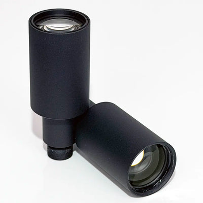
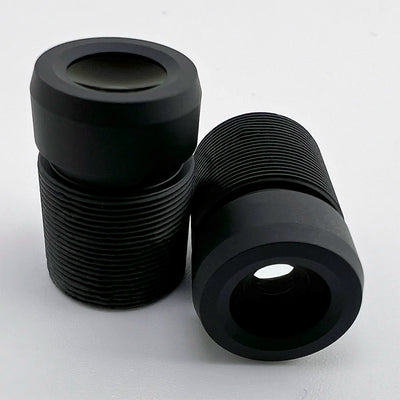
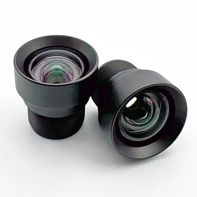
Lenses for drone cameras
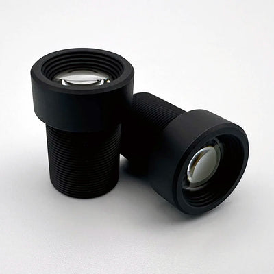
Match the lens to the mission the calculator just sized: low distortion when the output is measured, longer focal length for standoff detection, and sealed construction for weather exposure. Verify field of view against your sensor before ordering.
Technical references
Frequently asked questions
What GSD do I need to detect a person from a drone?
Using the Johnson criteria at 50% probability, detection of a person (critical dimension roughly 0.5m) needs about 2 pixels across that dimension, or 25cm/px GSD or finer. Recognizing a person versus a vehicle takes about 8 pixels (roughly 6cm/px), and identification takes about 13 pixels (roughly 4cm/px).
These are geometric minimums under good contrast. Haze, motion blur, and lens MTF push real requirements finer, so a common approach is to budget extra margin, often about 2×, and validate with flight testing.
What focal length is best for drone photogrammetry?
Calculate it from target GSD: EFL = pixel pitch × altitude / GSD, using consistent units. For 3µm pixels at 60m altitude, 2cm/px GSD needs 9mm EFL. The full combination of 3-4µm pixels, 50-80m altitude, and 1-3cm/px GSD spans 5-32mm EFL. Check coverage and image quality after choosing the specific geometry.
Does lens distortion change my GSD?
Yes. Distortion changes local image scale, so GSD can vary across the field. The variation depends on the slope of the calibrated mapping, not just the maximum distortion percentage. Use the lens's distortion curve or the calibrated pixel-to-ground mapping to check scale where measurements are made.
Is global shutter or rolling shutter better for drone mapping?
Global shutter is safer when the platform is fast or vibrates: every pixel exposes at once, so motion becomes uniform blur rather than row-by-row geometric skew. Rolling shutter gives more resolution per dollar and maps successfully at moderate speed with short exposures and vibration isolation.
For measurement-critical work or fast low-altitude flight, choose global shutter and pair it with a rigid all-metal lens. The sensor selection guide covers the tradeoff.
Can one drone camera handle both mapping and object detection?
Yes, when you budget GSD to the stricter mission. A camera mapping at 2cm/px recognizes people (roughly 6cm/px needed) with margin. The tension is swath: detection wants telephoto reach from standoff altitude while mapping wants width for coverage per pass.
Payloads that carry a wide mapping lens and a telephoto confirmation lens, such as a 6.2mm CIL062 wide plus a 25mm CIL250 on separate cameras, avoid compromising either mission for a few extra grams of M12 glass.
Designing a mapping or detection payload?
Send us your sensor, altitude, and GSD or detection requirement and we will recommend focal length, distortion class, and filter configuration from stock.